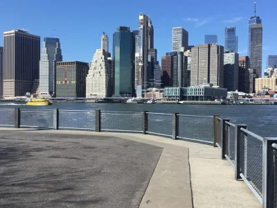
Saturday stays dry, then Isaias leftovers drench NYC Sunday
Get outside Saturday. Sunday brings over an inch of rain and gusty winds from what is left of Isaias, and skies clear Monday afternoon.
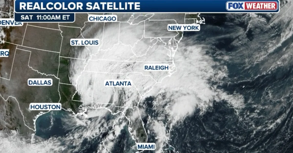
Saturday is the day to be outdoors. The National Weather Service says leftover moisture from Hurricane Isaias will turn Sunday gray and wet across New York City, and the rain should move out by Monday afternoon.
Isaias will not arrive here as a hurricane. Forecasters expect the weakened system to push tropical moisture northward, and they have issued no tropical alerts for the Northeast or the Mid-Atlantic.
When the rain hits NYC on Sunday
Showers could start as early as Sunday morning and build as the day goes on, according to National Weather Service meteorologist John Murray. He expects the worst of it later in the day, once the afternoon arrives and on into the evening. By the time it winds down, the city’s total should come in just above one inch. “There might even be an embedded thunderstorm as we get to Sunday night,” Murray said.
Moderate rain, heavy at times, is possible, the weather service says, but the system should travel quickly, which lowers the odds of widespread flooding. Low spots and streets that drain poorly could still take on water, and Murray put the chance of flash flooding in a few places as small. In New Jersey, some areas could pick up 1 to 2 inches, and a few spots could get more.
Wind, coastal flooding and the Monday forecast
Gusts of 25 to 30 mph should come in with the heaviest rain. Murray said that falls well below what would trigger a wind advisory. Winds should be strongest Sunday afternoon and evening, then ease late Sunday night and into early Monday. On the shoreline, winds out of the southeast may hit 20 to 30 mph for a short time Sunday night.
The likelier water problem is minor flooding at high tide early Monday, mainly along the south side of Long Island and around the lower harbor. Forecasters do not expect serious coastal flooding.
Highs Saturday should land in the high 60s to low 70s. Sunday will be noticeably cooler, struggling to reach the low 60s. Monday looks warmer and drier: the rain should taper off in the morning, the afternoon should clear, and temperatures should get back to around 70.
If you have tickets for the Jets and Browns at 1 p.m. Sunday in New Jersey, bring rain gear. The timing, totals and track of the heaviest rain could still shift, so keep checking the forecast through the weekend.
Quick answers
When will it rain in NYC this weekend?
Rain may begin early Sunday morning, peaks from Sunday afternoon into the evening, and tapers off Monday morning.
How much rain will NYC get from Isaias?
The National Weather Service expects the city's total to land just above one inch.
Will there be flooding in NYC?
Minor flooding is possible on streets with poor drainage, and minor high tide flooding is possible early Monday along the south side of Long Island and around the lower harbor.